Spring Creek
-
RunSpring Creek
-
ClassII
-
Put InHwy 56 (Franklin Co).
-
Take OutCoburn Mountain Rd (Colbert Co.)
-
Length (mi)5.6
-
Gradient (fpm)
-
Watershed (mi2)11.2
-
Primary Gage
- None Visual
-
Indicator Gage
none
Description
Spring Creek is a tributary of the Tennessee River. Its headwaters begin near the town of Russellville flowing in a Southwest direction through Colbert County before emptying into Pickwick lake on the Tennessee River. The section of Interest to whitewater paddlers begins where the creek flows under Highway 56 in Franklin County (which is the put in).
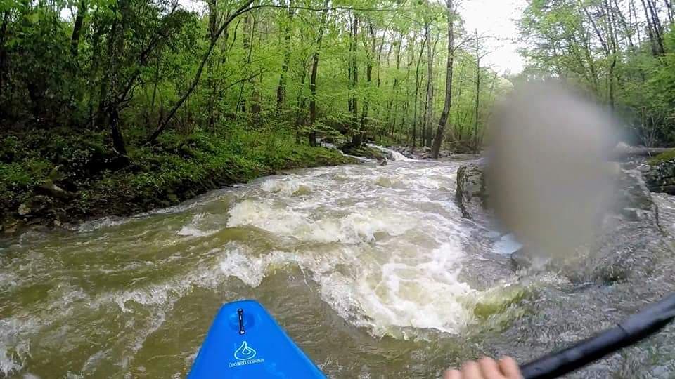
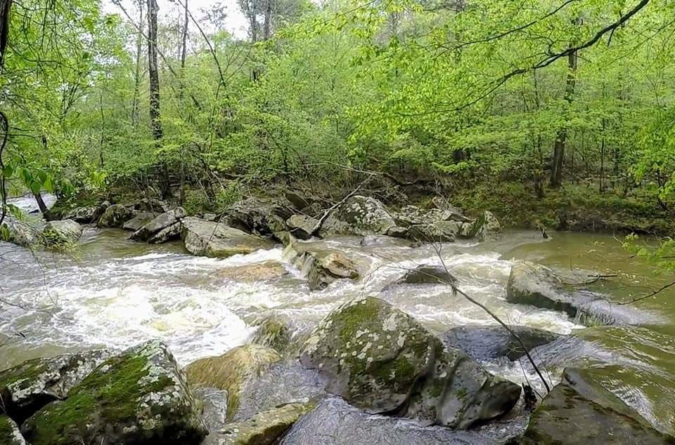
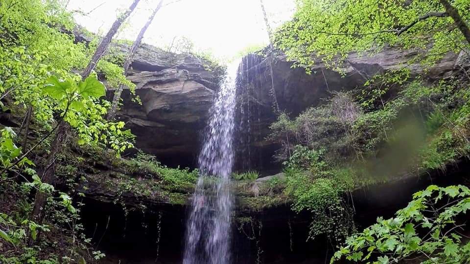
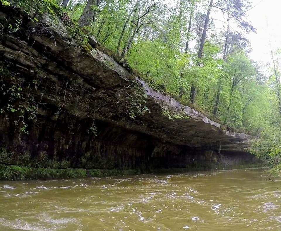
This small/micro creek features fairly continuous shoals, turns, and wave trains. One rapid ("ain't none") near the middle of this section could approach class 3 with enough water. It features a slot move into a hole then another move to the right to avoid a rock. This rapid finishes with a couple more holes/waves. The remaining rapids are class 1-2. Unfortunately, after about 2.5 miles the rapids end and the creek becomes flat, flowing through pasture land, until the takeout on Coburn Mountain Road. There are numerous log jams to deal with in this flat section. The scenery is nice and resembles the Bankhead area runs with bluff shelters and large boulders, but the water quality is lacking compared to the Bankhead area. About a mile into the run a feeder creek comes in on river right. A short hike up will reward you with a 60-foot waterfall coming off a bluff shelter. This run requires at least 1-2 inches of rain during winter/early spring over a short period to produce a runnable level.
Run description provided by Thomas Barnes and Seth Hudson.
Details
-
ClassII
-
Gradient (fpm)
-
Length (mi)5.6
-
Watershed Size (mi2)11.2
-
Put InHwy 56 (Franklin Co).
-
Take OutCoburn Mountain Rd (Colbert Co.)
-
ShuttleHwy 56/ CoRd 37(Fox Trap)/Coburn Mtn Rd
-
Water Quality
 (
2 chickens | 1 = Good, 3 = Gross)
(
2 chickens | 1 = Good, 3 = Gross)
-
Primary Gage
- None Visual
-
Indicator Gage
-
Precip. Gage
Map
Video
Photos