Tallapoosa River Owen Canoe Trail
-
RunTallapoosa River
-
ClassI (II)
-
Put InHwy 46 (or others)
-
Take OutCR 448 (or others)
-
Length (mi)~15 miles
-
Gradient (fpm)~2.7'/mile
-
Watershed (mi2)441
-
Primary Gage
- Tallapoosa near Heflin 2', 4' ideal, 7' high
-
Indicator Gage
none
Description
From Lex Brown at Tallapoosa Outfitters:
The Tallapoosa in Cleburne County is the site of the Lloyd Owen's Canoe Trail. The trail offers access to 44 miles from the GA line to the Cleburne / Randolph County line, close to the upper end of Lake Wedowee. Mostly flatwater with many small shoals, several class 1's, great for beginners, church groups, scouts, etc...It is an awesome area, not much swiftwater but great scenery and several class 1's (1 class 2 in the right water).
The easiest place to find/access the river is actually Tallapoosa River Outfitters. There is a public boat ramp there. It is located: Follow I-20 (East in AL, we are very close to the GA line) to exit 205, go east on Hwy 46 for 3 miles. Cross Tallapoosa River bridge, ramp is on the left. (Perry Hand Bridge)
The other site worth noting is upriver from TRO. Follow I-20 to exit 210. Follow CR 49 north for 2 miles. Turn left onto CR 448. Go 1-2 miles to deadend at the river. This is the Dryden's Mill campsite. The Dryden's Mill campsite has a boat ramp, toilets, a pavilion, and picnic tables.
Put in at Dryden's Mill and float down to TRO at the Perry Hand Bridge on Hwy 46 for a nice day trip. There are also seven other access points along the trail without campgrounds that I'd be happy to point out if interested, but these two handle the most traffic. It is roughly a five hour paddle between Dryden's Mill and Hwy 46. I have a 3 hr trip off private access to Hwy 46 ramp. These are the two most popular runs.
This section of the Tallapoosa offers year round paddling, even during dry weather. I recommend going from 2 feet to 6-7 feet, with 4 feet being ideal on the Heflin gauge. This is roughly 200 cfs to 1000 cfs. It is safe to run up to pushing 2000 cfs because the obstacles are underwater, but anything over 6 feet deep causes problems if someone flips their boat. They have to go to the bank to get going again. It is rare for us to be outside of the 3-5 feet range during warm weather.
Tallapoosa River Outfitters is open on weekends and holidays in March-October. If you have any questions email me or call anytime at (256) 201 9160.
Details
-
ClassI (II)
-
Gradient (fpm)~2.7'/mile
-
Length (mi)~15 miles
-
Watershed Size (mi2)441
-
Put InHwy 46 (or others)
-
Take OutCR 448 (or others)
-
ShuttleHwy46/ I20/ CR49/ CR448
-
Water Quality
 (
1 chicken | 1 = Good, 3 = Gross)
(
1 chicken | 1 = Good, 3 = Gross)
-
Primary Gage
- Tallapoosa near Heflin 2', 4' ideal, 7' high
-
Indicator Gage
-
Precip. Gage
Map
Video
Photos
The Upper Tallapoosa (photo courtesy Lex Brown at Tallapoosa Outfitters)
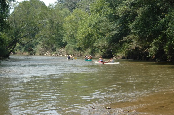
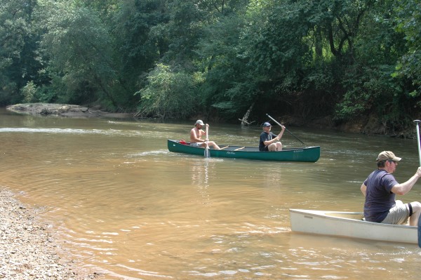
A summer group (photo courtesy Lex Brown at Tallapoosa Outfitters)
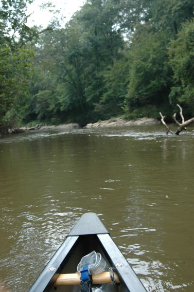
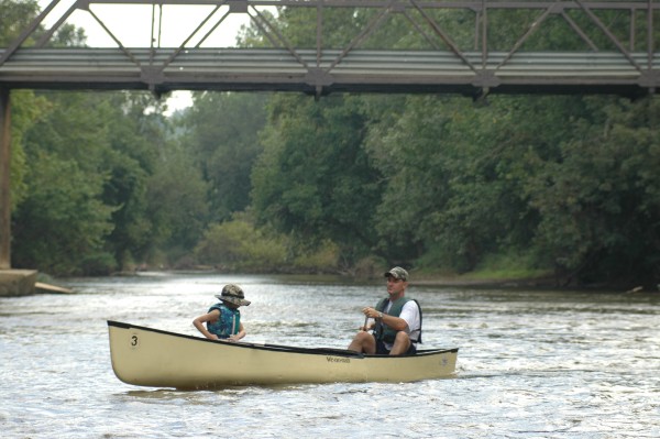
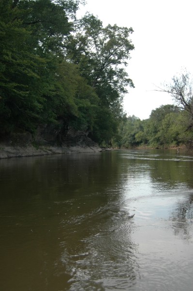
Downstream View (photo courtesy Lex Brown at Tallapoosa Outfitters)
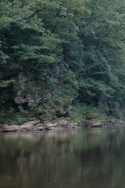
Scenic Bluffs (photo courtesy Lex Brown at Tallapoosa Outfitters)
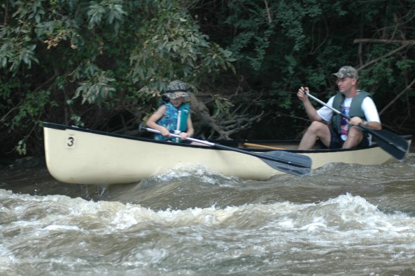
Small rapids probably won't upset the cooler (photo courtesy Lex Brown at Tallapoosa Outfitters)
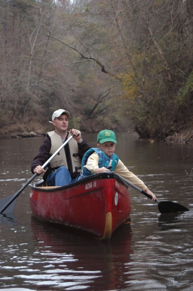
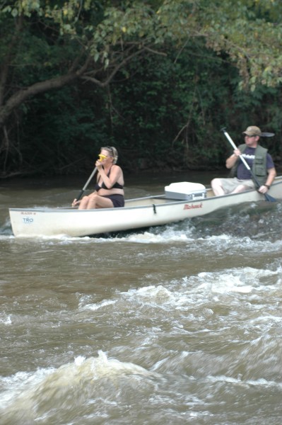
The t-grip son, the t-grip! (photo courtesy Lex Brown at Tallapoosa Outfitters)
(photo courtesy Lex Brown at Tallapoosa Outfitters)
(photo courtesy Lex Brown at Tallapoosa Outfitters)
(photo courtesy Lex Brown at Tallapoosa Outfitters)