Caffee Creek
-
RunCaffee Creek
-
ClassII-III
-
Put InCR24 (Cahaba River Drive)
-
Take OutCahaba confluence on WMA
-
Length (mi)6.5 miles
-
Gradient (fpm)~21'/mile
-
Watershed (mi2)34
-
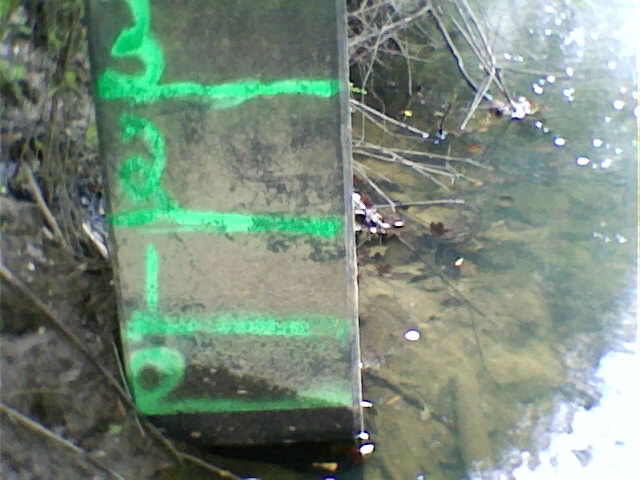
Primary Gage
- Put-in bridge 0' very scrapy, 1' minimum, 3.5' high
-
Indicator Gage
none
Description
From JMathis:
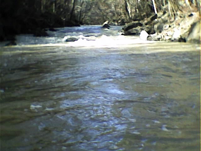
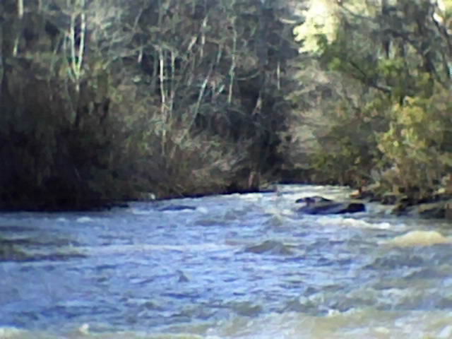
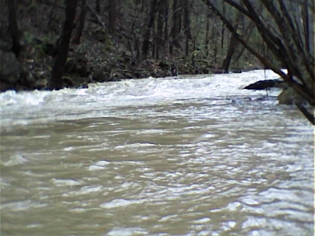
Caffee Creek is mainly class 2-3 with some ducking under tree limbs. Nice rapids for lower cahaba watershed. We put in at West Blocton and took out at the wildlife refuge. The first mile of the run is just current. Then it is consistent class 2 with a few class 3 rapids all the way to the river.
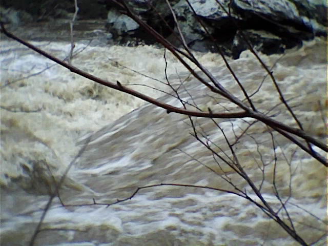
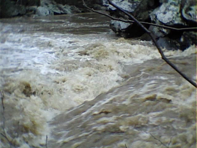
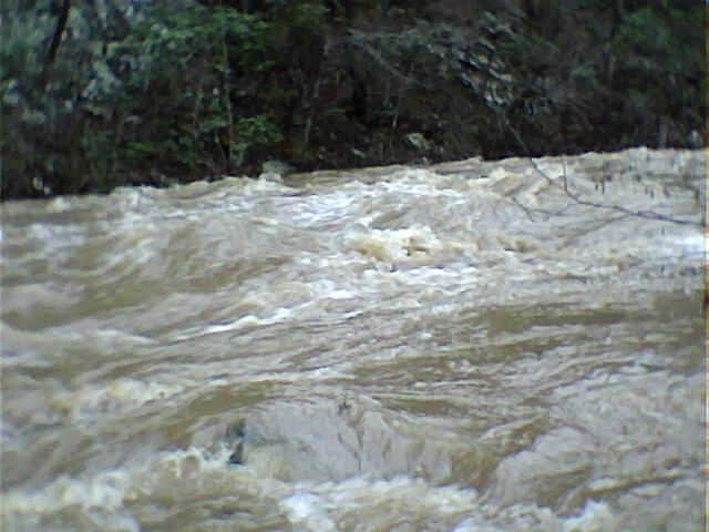
The creek was almost out of the banks when we ran it. The first 1 to 1 1/2 miles was moving current. We encountered a few class 2 rapids. Then the creek started picking up and we encountered large wave trains leading you into most of the bends. We came across 3 sets of old bridge supports that might collect wood but they were no hazard. The last 2 miles seemed like Nantahala water without the falls and narrower. It took us about an hour and a half to get to the wildlife refuge. We just bombed down so we would not run out of daylight. Pretty nice rapids for the Lower Cahaba watershed. It was an easy take out right where the creek and river meet.
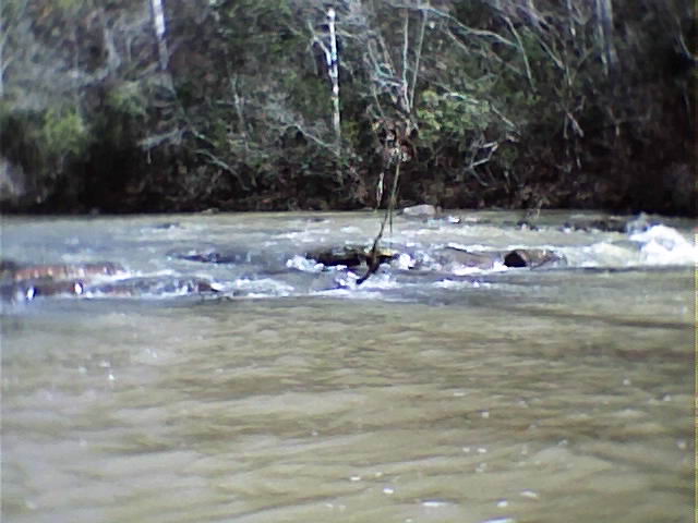
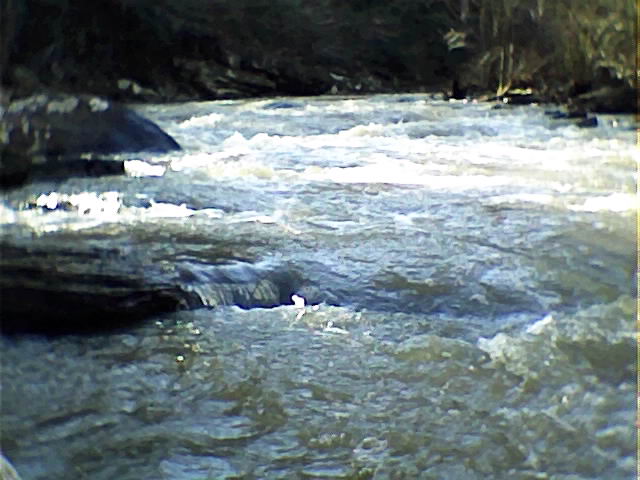
Mike Paschal follows up: There are a couple of spots though at 3 ft that are sketchy. The rapid named Speed Bump is the first thing you come to on the run shortly followed by the shoal sections and then shortly later a couple of small rapids. The bridge supports half way down the run are a concern. We cut part of it out but there is A LOT of wood built up there. A large tree still lays across 95% of the creek. We portage around it because if you mess up you will be swept into the wood piles in the bend. You know after the bridge support section is where it really begins to pick up. One of the areas to watch out for further down is a rapid we named Speed Dating. It is separated in the middle by an island - river right is no good. There are small trees and wood in it and it would not be wise to run the right side. The river left side is open and narrow with no eddies. We named it Speed Dating because it is fast and has 4 consecutive holes in it and is somewhat lengthy. The run on down is similar to the rapids you experience to this point except for one section near the end. This section is what we named Davey Jones Locker. At 3 ft it is a fitting name. This is a bad hole. If you go in...you might not be coming out. A portage at this section is not easy either. You can identify it by the high pointed cliff as you round a bend in which you will see the lead in and hear Davey Jones. If you enter the lead in you have no choice but commit to Davey Jones. The best line would be river right next to the cliff, but be careful, the right side is slightly undercut. After DJL you are good to the take out.
Details
-
ClassII-III
-
Gradient (fpm)~21'/mile
-
Length (mi)6.5 miles
-
Watershed Size (mi2)34
-
Put InCR24 (Cahaba River Drive)
-
Take OutCahaba confluence on WMA
-
ShuttleCahaba River Drive / WMA Road?
-
Water Quality
 (
2 chickens | 1 = Good, 3 = Gross)
(
2 chickens | 1 = Good, 3 = Gross)
-
Primary Gage
- Put-in bridge 0' very scrapy, 1' minimum, 3.5' high
-
Indicator Gage
-
Precip. Gage
Map
Video
Photos