Hillabee Creek Upper
-
RunHillabee Creek
-
ClassII-III
-
Put InTrail off Rt 281
-
Take OutCR 24 Hillabee Lake
-
Length (mi)5.0
-
Gradient (fpm)50, 50, 40, 40, 30, ~1.5 mi. lake
-
Watershed (mi2)4.1
-
Primary Gage
- None Visual
-
Indicator Gage
none
Description
Upper Hillabee is one of those runs that I've done once, enjoyed in its own way, but will probably never do again. It is very scenic in a back woods, Smokies kind of way. Water quality is excellent (for Alabama especially). Access and trees prevent this from being a must-do II-III 'wilderness' run. Brian McAnally had been checking this one out for a while, and Chris Sherrod and I took him up on it in early spring 2005. It requires a strong, recent rain for a good level.
Usually I describe the run before the access but in this case the situation is reversed. There is no practical way to judge the level before committing to the run. This is because the take-out is across a lake and the put-in is 45 minutes, or slightly less, down a trail. The trail the old Oxford/Cheaha road that is on the topo maps. Park the take-out vehicle somewhere along Lake Hillabee on CR24. Access to this lake may be by permit only, I'm not sure. To find the put-in, go back up CR24, turn south on Rt 281. After you pass under the power lines, then an overlook, watch for a gravel pull off on the right side. This is the start of the trail, which heads down to the creek. It is in excellent shape. It is an old CCC road project from the depression, complete with fine stonework supporting the road and a good stone bridge at the creek. Towards the end of the trail, you will see an obvious Y in the trail. Either one will work, though we went right to the lower access to maximize water.
The creek itself has almost constant class II+ rapids for a long time. Here and there a couple rapids are in the easy III category. As of early 2005, you will encounter many logs. We had to walk about a half dozen and squeeze over, under, and through many more. Once you get down to the power lines, the gradient slowly leaves the scene and you are left with moving flatwater. The water does move at a decent level. All in all a nice scenic trip that is not worth the effort. That would change if someone decided to walk down the creek and cut out the logs. If that was done, the intrepid in-shape class III boater might want to make this a fitness test or nice overnighter.
Details
-
ClassII-III
-
Gradient (fpm)50, 50, 40, 40, 30, ~1.5 mi. lake
-
Length (mi)5.0
-
Watershed Size (mi2)4.1
-
Put InTrail off Rt 281
-
Take OutCR 24 Hillabee Lake
-
ShuttleRt 281 / CR 24
-
Water Quality
 (
1 chicken | 1 = Good, 3 = Gross)
(
1 chicken | 1 = Good, 3 = Gross)
-
Primary Gage
- None Visual
-
Indicator Gage
-
Precip. Gage
- Mt Cheaha (AL Power)
Map
Video
Photos
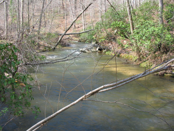
The view upstream from the put-in bridge
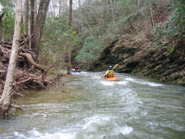
Brian McAnally and Chris Sherrod in the narrow streambed
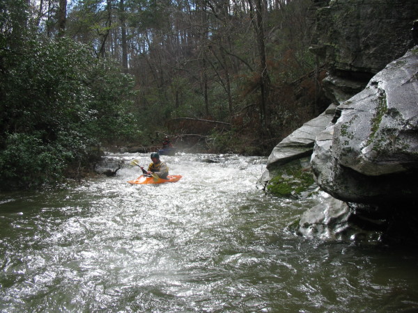
Chris making a move over a log
Brian, sun glare.
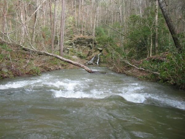
A nice tributary waterfall
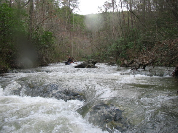
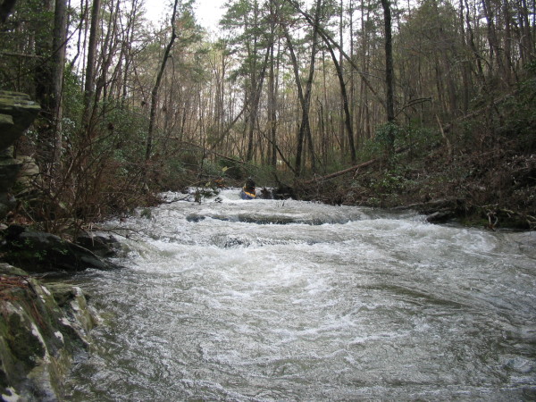
Chris in a longer rapid