Borden Creek
-
RunBorden Creek
-
ClassI
-
Put InFS 208
-
Take OutCranal Rd/County Road 60
-
Length (mi)6
-
Gradient (fpm)6'/mile
-
Watershed (mi2)15.1
-
Primary Gage
-
Indicator Gage
none
Description
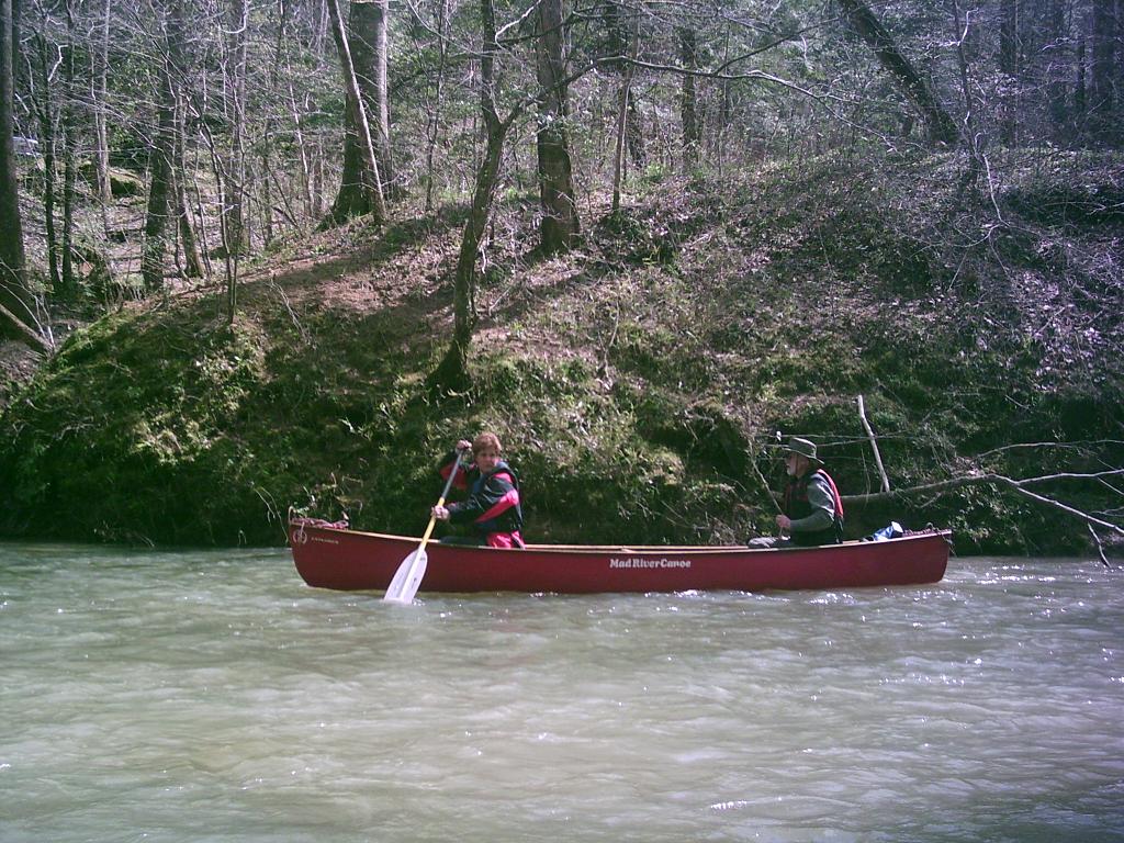
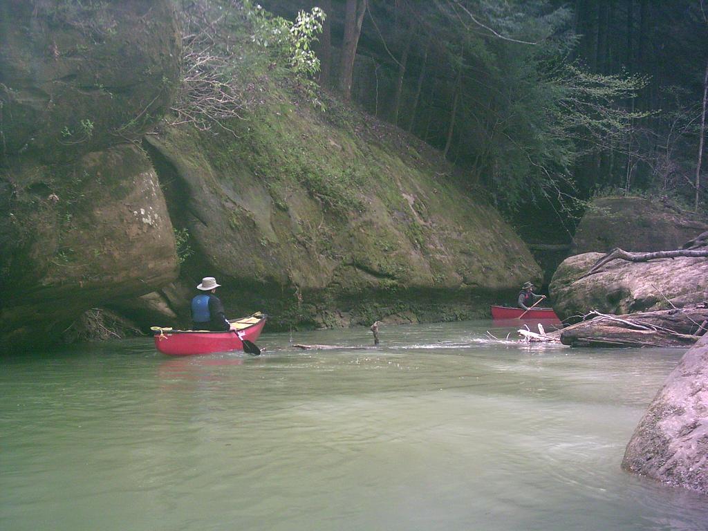
The put-in for this trip is unlike any of the other Sipsey River head waters trips because the trip starts in an upland woodland instead of a hemlock-lined canyon. As the creek flows south, the canyon walls draw closer and the scenery gradually changes into the typical Sipsey bluff-lined canyons. During periods of heavy runoff the canoeist will think they are in a shower due to the noise of the many waterfalls which run over the bluff lines. After 3.4 miles, the creek runs beneath a bridge on Bunyan Hill Road (F.S. Road 224). This bridge serves as an alternate put-in for a 2.5 mile trip on down to the takeout. Borden Creek joins the Sipsey River 2 miles below Bunyan Hill Road.
In September 2009 at about 400cfs, there were 4 to 6 major strainers before the bridge at Bunyan Hill Rd and one shoal that we had to carry across. I think 400cfs on the Sipsey gauge is minimal for the upper section. After passing Flannigan and Braziel, the flow and the depth get much better. A quarter mile below Bunyan Hill Rd, there is a great waterfall and cave to explore on river left. The waterfall is visible from the river and the large boulders hide the small cave that is part of the walking trail along Borden Creek.
Details
-
ClassI
-
Gradient (fpm)6'/mile
-
Length (mi)6
-
Watershed Size (mi2)15.1
-
Put InFS 208
-
Take OutCranal Rd/County Road 60
-
ShuttleFS208 (NW Rd)/ Hwy 33/ CR60 (Cranal Rd)
-
Water Quality
 (
1 chicken | 1 = Good, 3 = Gross)
(
1 chicken | 1 = Good, 3 = Gross)
-
Primary Gage
-
Indicator Gage
-
Precip. Gage
Map
Video
Photos