Mill Creek (North of Vinemont)
-
RunMill Creek (North of Vinemont)
-
ClassII (III)
-
Put InHolmes Drake Rd.
-
Take OutUS 31
-
Length (mi)4.7
-
Gradient (fpm)75, 40, 20, 0 (1.7)
-
Watershed (mi2)16.5
-
Primary Gage
- Put-In Bridge 0'
-
Indicator Gage
- StreamBeam Mulberry 6.5' (rough)
Description
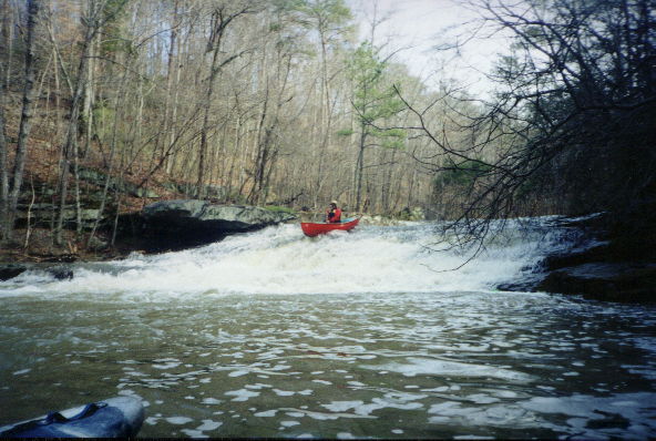
Mill Creek is a fairly narrow creek that starts off in promising fashion and then settles down to class II. It is suitable for anyone who is comfortable on class II and would be a nice first easy creek experience.
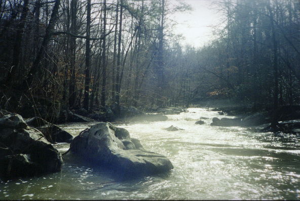
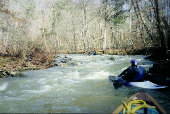
After a few opening drops, an easy 24' two part slide can be run almost anywhere, although far left or right might find a tree or a rock. After the pool, a nifty III- follows. At about 7" or so, a sneak opens up in the left side, which essentially makes this a II+ if you run that side. Then things simply get down to drop pool with fairly long but easy class IIs that would edge into III at higher water. One smaller slide later in the run has some nice front surfing waves that are sweet at 7", comparable to junkyard rapid on the upper Locust.. The last two miles or so are moving flatwater but will go fairly quickly if you keep paddling. As of December 2001, there is no wood in the whitewater section. About four logs are down on the flatwater stretch, and poratging them is no fun due to the muddy banks.
Mill Creek has a similar size watershed to the upper parts of East Fork Flint Creek, and will run when about an inch or more rain has fallen within 12 hours or so in the depths of winter. The gage is located on the upstream river right side of the bridge concrete support. 0 is minimum and I know 7" is a good level. The run seems to correlate nicely with the Duck gage (editor: now defunct due to the dam project), if you have 4.8' on the Duck this should be running. The put-in is actually on the same road as the put-in for East Fork Flint Creek, Holmes-Drake Road becomes CR 1386 (Alvin something Rd) as you drive south. The connection is not shown in the Atlas and Gazeteer.
Details
-
ClassII (III)
-
Gradient (fpm)75, 40, 20, 0 (1.7)
-
Length (mi)4.7
-
Watershed Size (mi2)16.5
-
Put InHolmes Drake Rd.
-
Take OutUS 31
-
ShuttleHolmes Drake / E.Lacon / US31
-
Water Quality
 (
2 chickens | 1 = Good, 3 = Gross)
(
2 chickens | 1 = Good, 3 = Gross)
-
Primary Gage
- Put-In Bridge 0'
-
Indicator Gage
- StreamBeam Mulberry 6.5' (rough)
-
Precip. Gage
Map
Video
Photos