Roswell Creek
-
RunRoswell Creek
-
ClassII-III
-
Put InHwy 67 or Dalton Walker
-
Take OutSR 278 (On Mulberry)
-
Length (mi)1.6 miles
-
Gradient (fpm)40, 35 (0.6)
-
Watershed (mi2)8.5
-
Primary Gage
- None Visual
-
Indicator Gage
- Blue Springs 100+?
- StreamBeam Mulberry High/rising
Description
I had looked at Roswell and even walked it years ago, but never found the motivation to run it until recently. Sammy Peek did in 2009 at a very low flow. Roswell flows into the Upper Upper Mulberry. It is very narrow with pretty steady gradient, few trees, a couple slides, some small drops, but has a good many rapids considering the run is only 1 1/2 miles long. When you reach the confluence with the Mulberry it is only 1 1/2 miles to Hwy 278. It shares the same watershed as Cotaco Creek, just the opposite side of the mountain, so given the choice Sammy would rather be on Cotaco. Overall it is a good quick run to mix in with something close by. With a good flow it would probably only take an hour to run. About half way down it crosses Roswell Creek Rd.
In 2010, we ran it at flood. It was quite brief and somewhat stressful. The Dalton Walker put in is easier than AL67, but it really does not add any rapids and requires you to walk around a low water bridge.
Details
-
ClassII-III
-
Gradient (fpm)40, 35 (0.6)
-
Length (mi)1.6 miles
-
Watershed Size (mi2)8.5
-
Put InHwy 67 or Dalton Walker
-
Take OutSR 278 (On Mulberry)
-
Shuttle67 / 231 / 278
-
Water Quality
 (
2 chickens | 1 = Good, 3 = Gross)
(
2 chickens | 1 = Good, 3 = Gross)
-
Primary Gage
- None Visual
-
Indicator Gage
- Blue Springs 100+?
- StreamBeam Mulberry High/rising
-
Precip. Gage
Map
Video
Photos
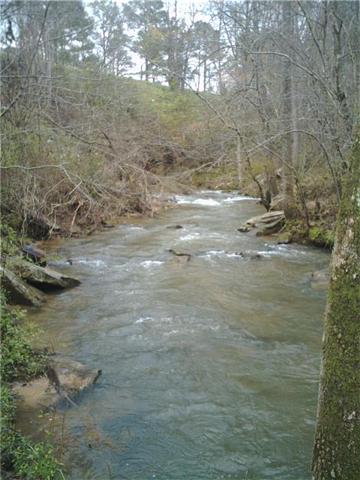
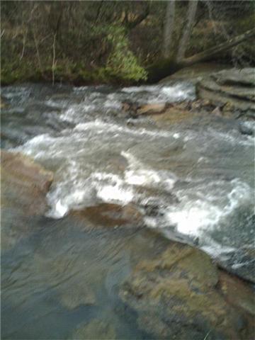
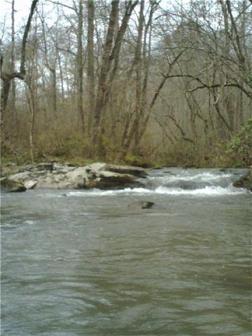
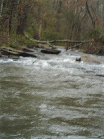
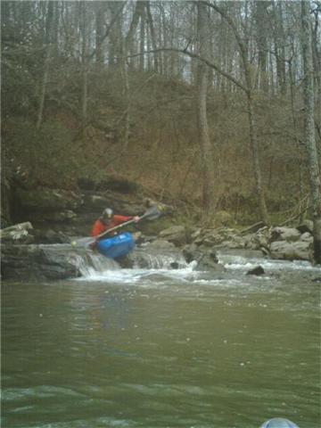
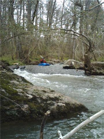
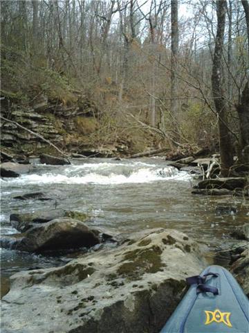
Roswell pictures at low water on a cell phone camera. (photo courtesy Samuel Peek)
(photo courtesy Samuel Peek)
(photo courtesy Samuel Peek)
(photo courtesy Samuel Peek)
(photo courtesy Samuel Peek)
(photo courtesy Samuel Peek)
(photo courtesy Samuel Peek)