Davis Creek Sections 1 and 2
-
RunDavis Creek
-
ClassI
-
Put In1: Hwy 216, 2: CR 99
-
Take Out1: CR99, 2: Hannah Creek Rd.
-
Length (mi)3.7 or 7.3
-
Gradient (fpm)~4'/mile
-
Watershed (mi2)33.3
-
Primary Gage
- Old Hannah Cr Rd Bridge 2.5' (3' better)
-
Indicator Gage
- Valley Creek near Grove Oak 500 (1000 better)
Description
With much help from Tom Land:
Davis Creek is a local creek for Tuscaloosa boaters and is also quite close to west Birmingham. It is generally runnable after rain in winter and early spring. It is mainly too low and lots of snakes in the summer. Width, water levels and drainage are similar to Hurricane Creek in Tuscaloosa. The guage is hand painted on the old, no longer used, Hannah Creek Rd bridge. It faces downstream on two river right supports.
Each creek is unique in its own way. Davis' claim to fame is coal mines. It resides smack in the middle of a major coal mine zone. The countryside has been stripped, and it is a bit desolate in some areas. The creek is surprisingly clear though, the strip mining ended some decades ago. Now the mines are subsurface. The coal seams are heavy with methane, so air pumps dot the landscape. These produce noise and sulfur gas, which is a bit stinky.
Sections I and II are low gradient class I. The scenery is nice but section two has a lot of abandoned tires. Section II features constant aggravating sound from the large mine ventilator fans. This made Tom never want to run it again.
Details
-
ClassI
-
Gradient (fpm)~4'/mile
-
Length (mi)3.7 or 7.3
-
Watershed Size (mi2)33.3
-
Put In1: Hwy 216, 2: CR 99
-
Take Out1: CR99, 2: Hannah Creek Rd.
-
ShuttleHannah Crk Rd / CR 59 / Hwy 216 (and CR99)
-
Water Quality
 (
2 chickens | 1 = Good, 3 = Gross)
(
2 chickens | 1 = Good, 3 = Gross)
-
Primary Gage
- Old Hannah Cr Rd Bridge 2.5' (3' better)
-
Indicator Gage
- Valley Creek near Grove Oak 500 (1000 better)
-
Precip. Gage
Map
Video
Photos
Trip Reports
Where the heck is Davis Creek?
Written by Murray Carroll
Mark D' had lined up an exploratory trip to Davis Creek and scheduled it for early January but the rains just didn't cooperate. When I asked Mark where Davis Creek was located he just replied that it was somewhere near Tuscaloosa; a quick look at the Gazetteer didn't reveal its location until Mark gave me a little more detailed information. Actually, Davis Creek is located not too far west of Bessemer, an industrial suburb of Birmingham. After leaving the Interstate 59 the scenery dramatically changed as we entered the rugged coal mining hillsides of central Alabama. Rugged is probably an understatement, especially at the former strip mine sites that have yet to be reclaimed. I believe that 99% of all the land in this area is owned by either the Drummond or Jim Walter coal mining empires.
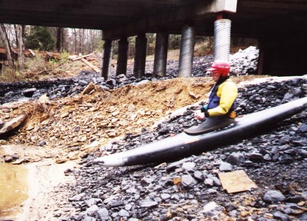
Our small group, Mark D', Dale Culpepper, Dave Curry, Kay and I, ran a rapid shuttle because we already knew that we had to put in over twelve miles of paddling on a cloudy winter day to finish before dark. The shuttle directions that Mark had obtained from a Tuscaloosa acquaintance proved to be extremely accurate and we were on the water shortly before 11 a.m. Mark seemed extremely pleased to have a "coal slide" seal entry point at the put-in.
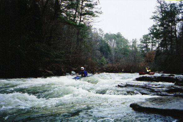
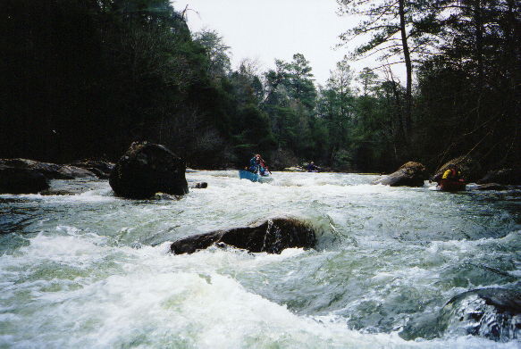
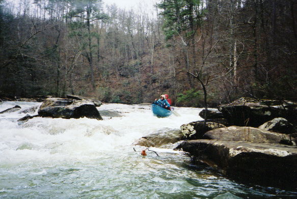
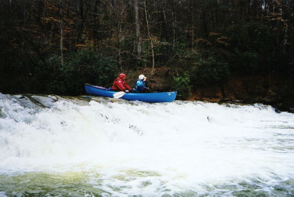
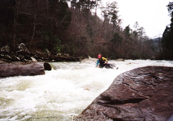
The whitewater action began immediately below the put-in and kept up for the next six miles. None of the rapids were above Class II and I really don't believe that any would exceed Class II with increased flows, excluding flood stages. Dave Curry remarked that this exploratory trip was unlike most of Mark's first runs; we didn't have to crawl through briars or drag our boats over logs in the middle of rapids. In fact, there were no log obstructions in the whitewater portion of the trip. After the first six miles, the rapids are over. At about mile 6.5 there is a three-foot high low head dam that stretches completely across the creek just above a turn to the right. We had to scrap across the dam and bang down the lower side causing some deep gouges in our new Caption. This dam could be a real troublemaker at really high water and deserves respect if you're on the creek at high levels. The remaining 6 miles of continually twisting creek consists of moving water with a few Class I shoals. We slipped under three blow-downs in this lower portion of the creek that would be trouble at elevated water levels. In this section, Davis would not be a pleasant place to portage around trees because the banks are extremely steep and slick. This lower six miles wasn't too awfully dreadful because the current moved along quite nicely.
Davis is a nice change of pace with six miles of successive Class II rapids. The paddle-out isn't too awfully dreadful. We ran it at about 2.5' on the bridge gage; I believe six inches more of water would have been even better; maybe my boat would have a few less gouges.